Nature
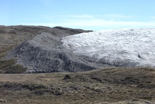
This aerial view, although a different location, is what the Rochester region looked like ten thousand years ago during the last Ice Age. The ice was nearly one-mile thick from top to bottom.
The Laurentide Ice Sheet covered much of Canada and parts of the northern United States including western New York roughly 20,000 years ago and deposited its remains at Rapids Cemetery. Boulders from the glacier blocked the river flow at today’s Brooks Landing.
The diagram below shows the ice (blue) and the rocks, gravel and sand that were moved along by the glacier. When the ice melted, it left behind the boulders that blocked the Genesee River at the Rapids settlement (Castletown). The deposit of gravel and sand sediments formed the knoll (small hill or mound) comprising Rapids Cemetery. Rapids Cemetery is one of the highest elevations in Rochester.
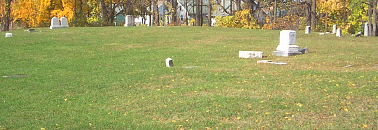
Glacial activity similar to this was thought to affect Rapids Cemetery and Brooks Landing 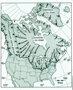
Laurentide Ice Sheet 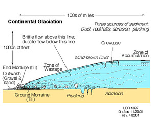
How the land at Rapids Cemetery was formed
As the glaciers retreated, they left debris, better known as moraine. The black border on the left of the map below shows the glacial moraine at Rapids Cemetery. The black border on the right shows the glacial moraine at the University of Rochester River Campus.
In 1905, remnants of the large boulders deposited at Brooks Landing made the river impassable here. Also seen here is the mostly demolished dam that had been erected to control water flow to the Feeder Canal.
Workers standing in the fording segment of the Genesee River at Brooks Landing are drilling into the bedrock to place dynamite charges to deepen the river to permit boat navigation.
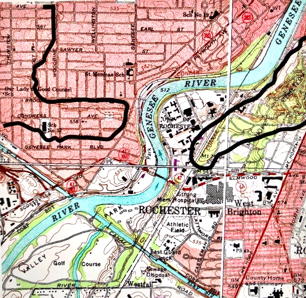
Topographical map showing glacier affecting Rochester’s southwest 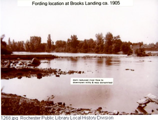
Boulders blocked Genesee River traffic 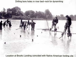
Deepening the Genesee River near Court Street.