In the early 1800s, the Native American and Colonial-era transportation hub at today’s Brooks Landing made the pioneer Rapids settlement a major contender for economic development. It lost out, however, due to the political clout of Nathaniel Rochester and his land holdings where the Erie Canal developed initially in downtown Rochester.
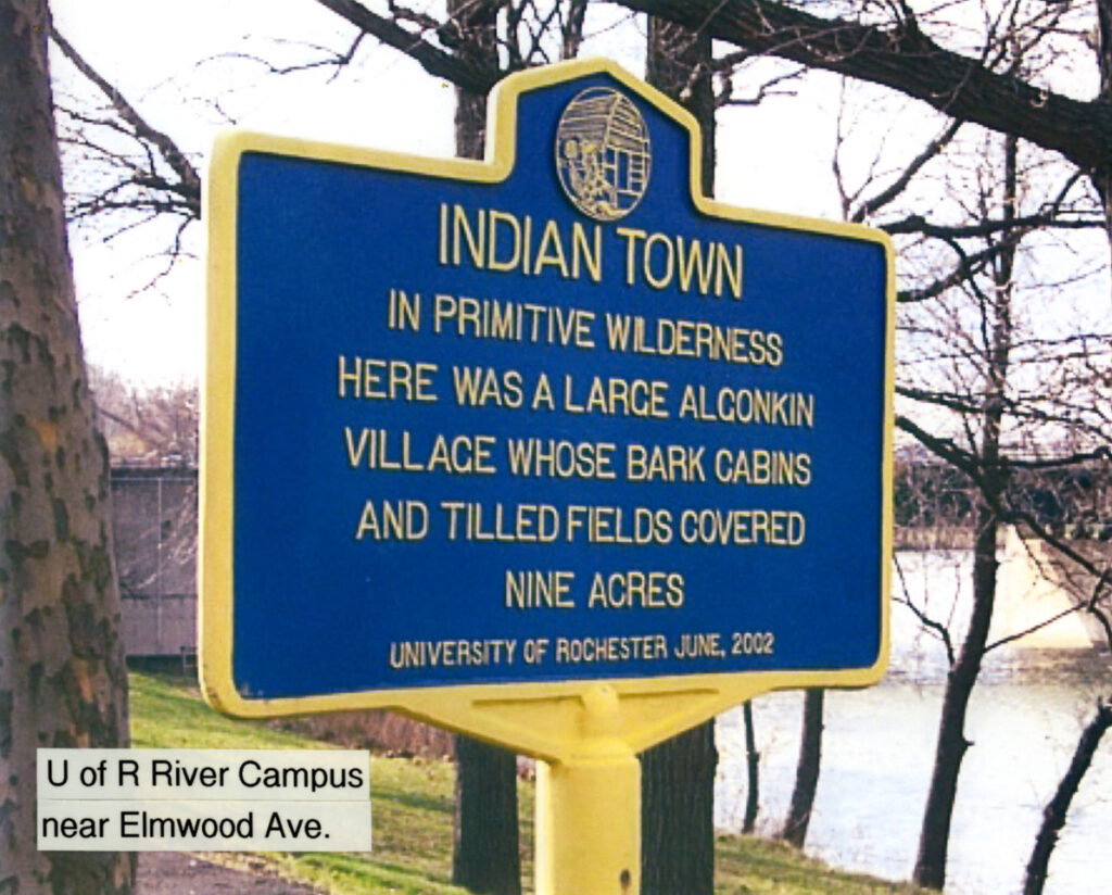
The land at the University of Rochester was a Native American settlement hundreds of years before European colonization.
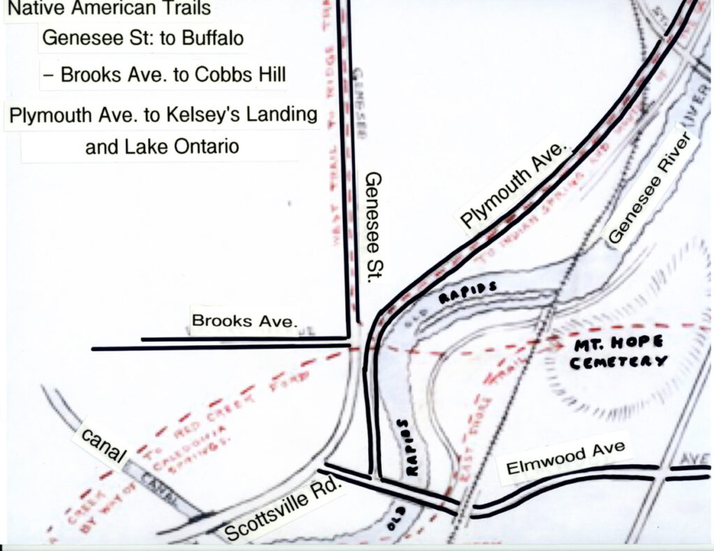
Brooks Landing was the hub of several Native American trails and subsequent cattle drive routes.
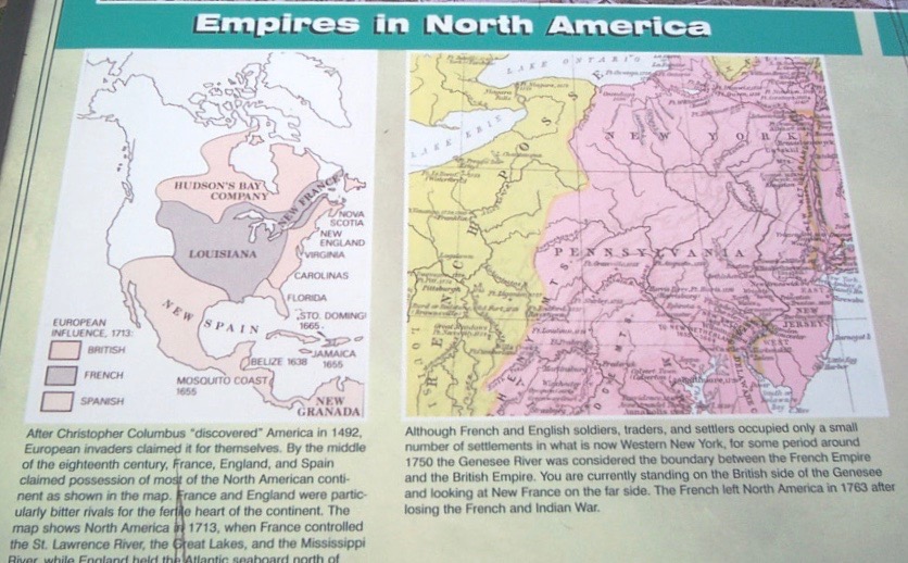
Prior to the Louisiana Purchase, the Brooks Landing area was colonial territory before and during the War of Independence.
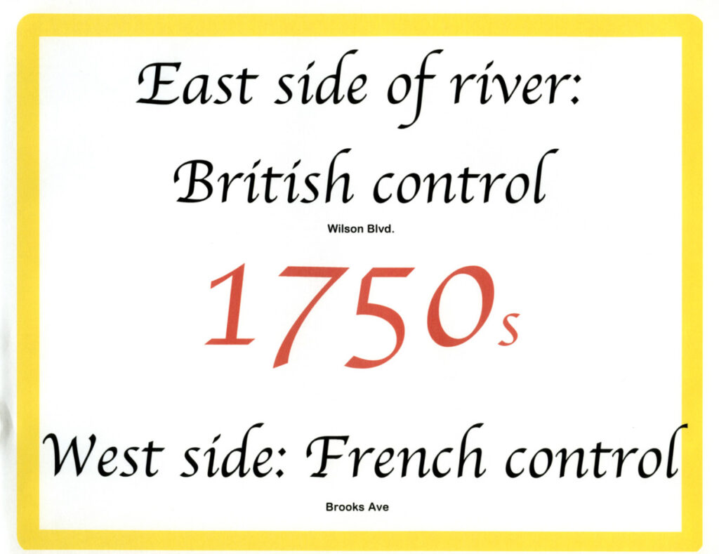
The east side of the river was controlled by the British and the west side (Genesee Street) was controlled by the French.
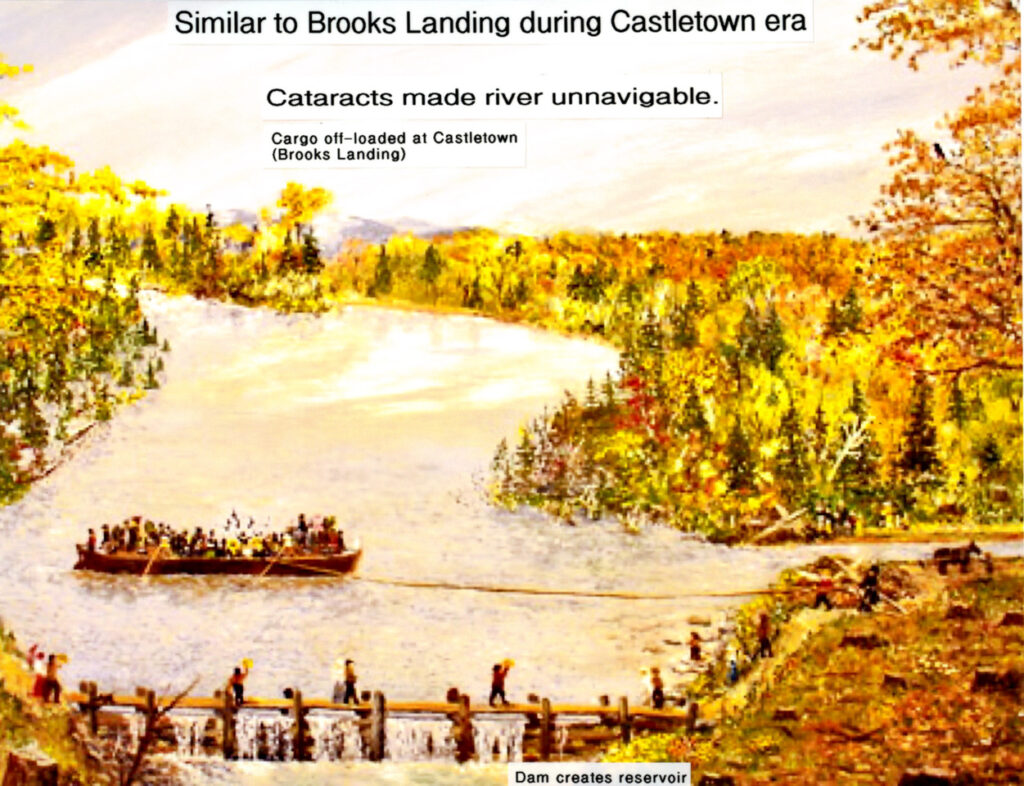
This painting replicates the early nineteenth century settlement period at “The Rapids”. A dam helped control the water flow.
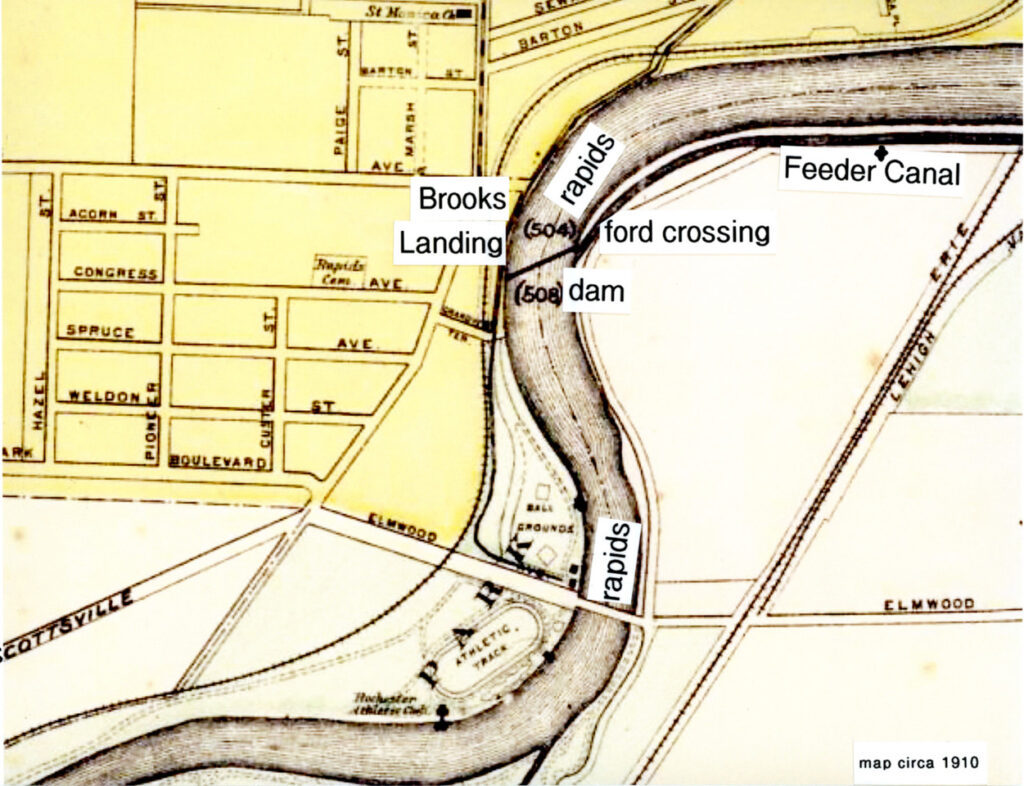
The Genesee Valley Canal, Genesee River and Feeder Canal waterways were active during the Rapids settlement era.
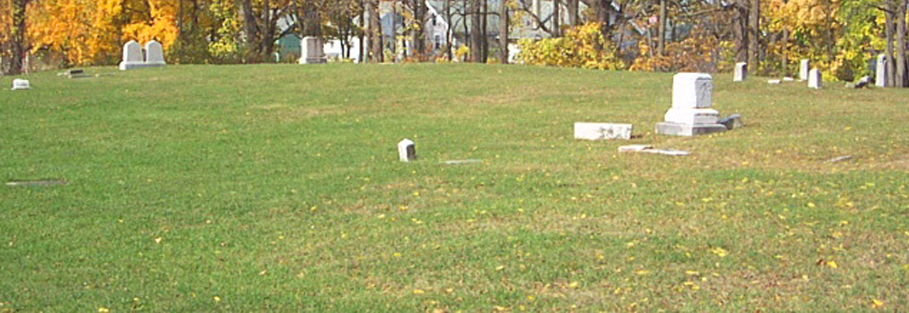
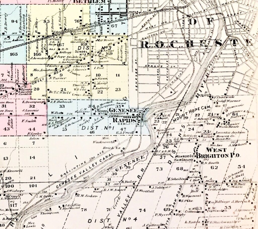
Note the proximity of Rapids Cemetery to the early pioneer settlement at today’s Brooks Landing.
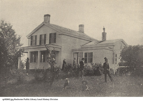
From 1840 through the 1860s, Susan B. Anthony lived at the family farm on today’s Brooks Avenue. Frederick Douglass visited.
Building a bridge over the river on Elmwood Avenue in 1888 spurred the development of Genesee Valley Park.
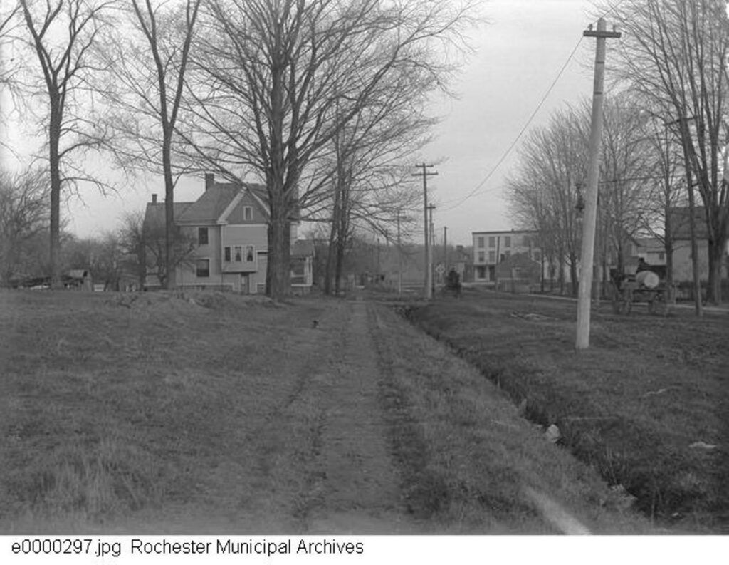
Early 1900s Rapids Road (Brooks Avenue) heading east to today’s Brooks Landing where there were hotel accommodations.
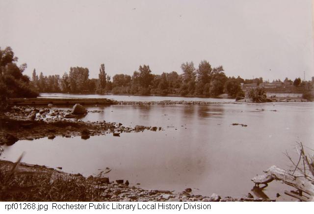
Circa 1902 photo looking west shows the remnants of the dam at Brooks Landing. This a fording location under ideal conditions.
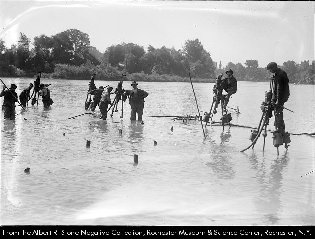
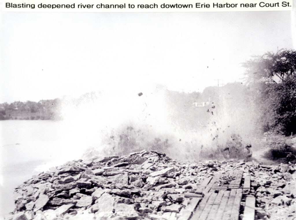
Steam drills were used at Brooks Landing around 1915 to prepare dynamite charges for deepening a river channel to downtown.
The canalized river here was part of the Erie Canal system in the early twentieth century.
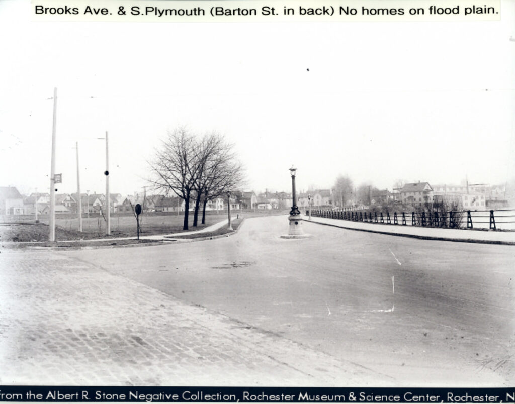
Lack of housing here shows the avoidance of annual flood conditions at Brooks Landing.
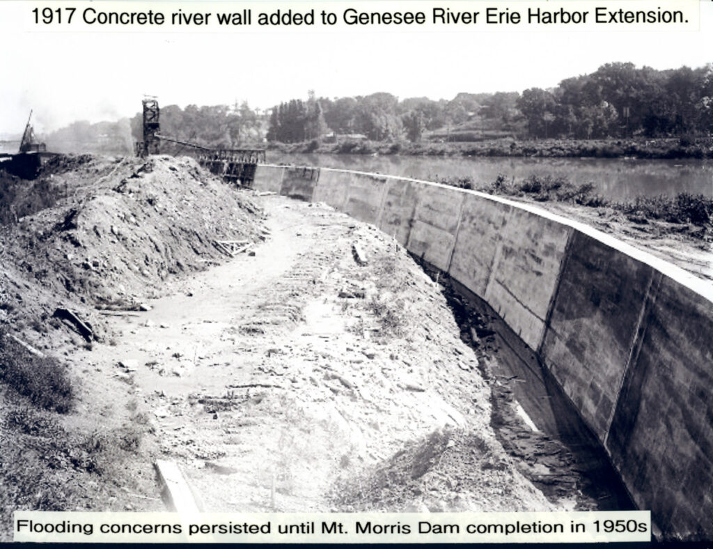
The addition of flood walls helped stabilize the riverbank for further development.
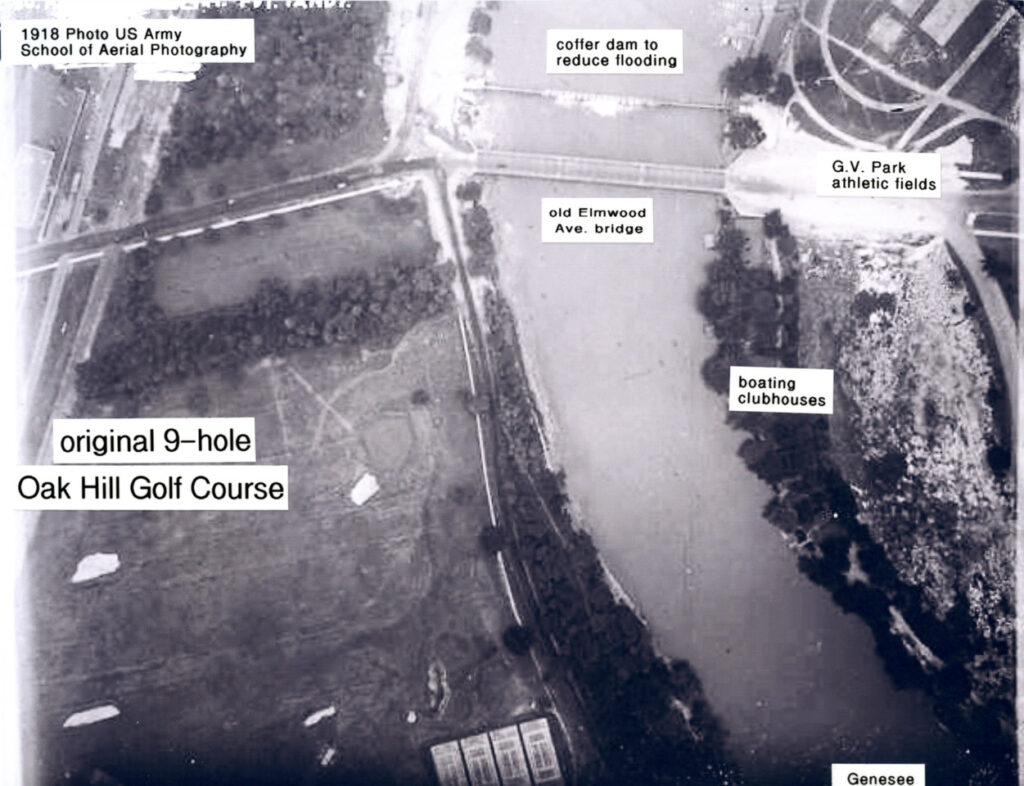
1918 photo. Brooks Landing was the original home of the Oak Hill golf course. The land here created the UR River Campus.
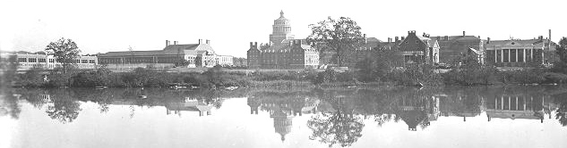
1930s photo of the University of Rochester quadrangle along the Genesee River.
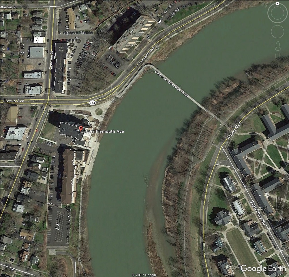
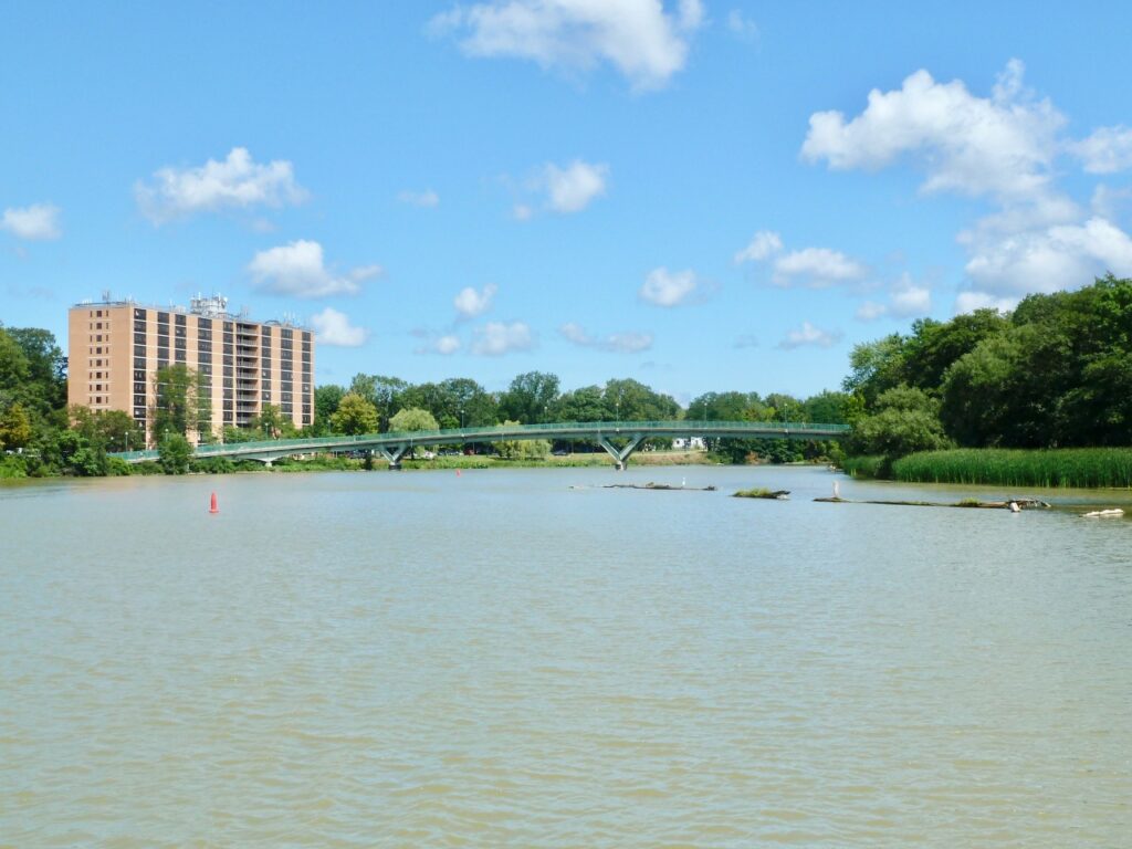
Aerial view of contemporary Brooks Landing at left. A pedestrian bridge links the UR campus with west side neighborhoods.
Plymouth Gardens residence on Plymouth Avenue. The west side neighborhood welcomes university students and tourists.
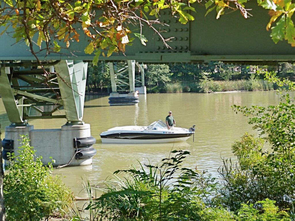
Brooks Landing accommodates kayaks, canoes, light watercraft and canal tour boats.
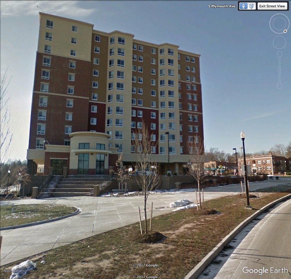
Brooks Crossing student high-rise with amphitheater for public events.
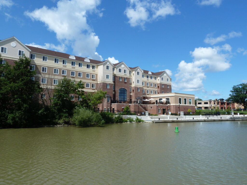
Staybridge Suites extended stay hotel on Genesee Street with docking service for watercraft.
Brooks Landing Business Complex has university offices plus food amenities open to the public.
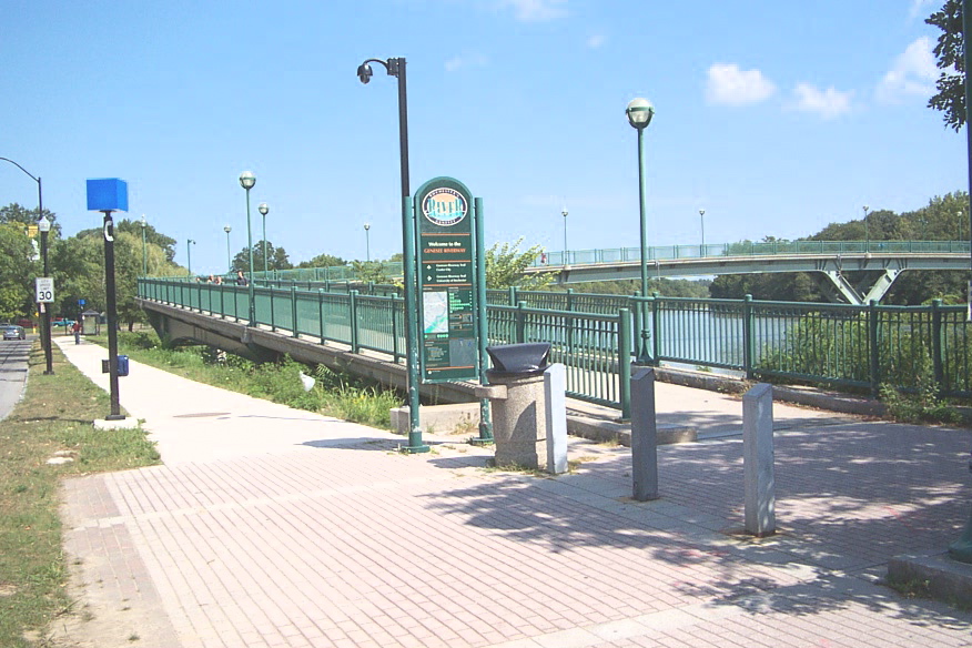
Access point at Brooks Landing for the west and east segments of the Riverway Trail system for hiking and cyclists.
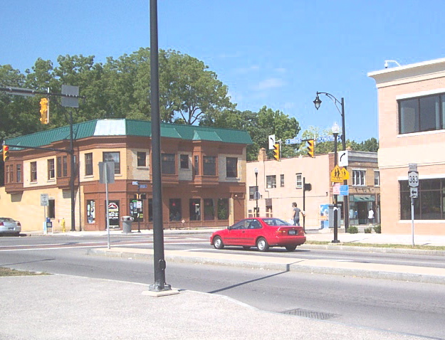
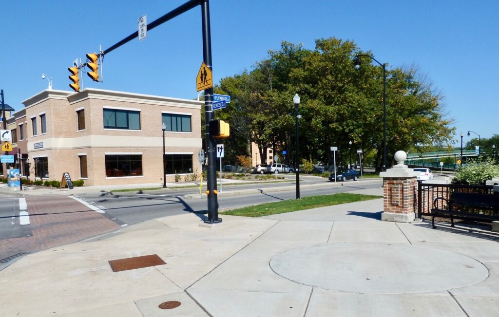
Brooks Avenue and Genesee Street businesses. The seasonal Westside Farmers Market operates at 831 Genesee Street.