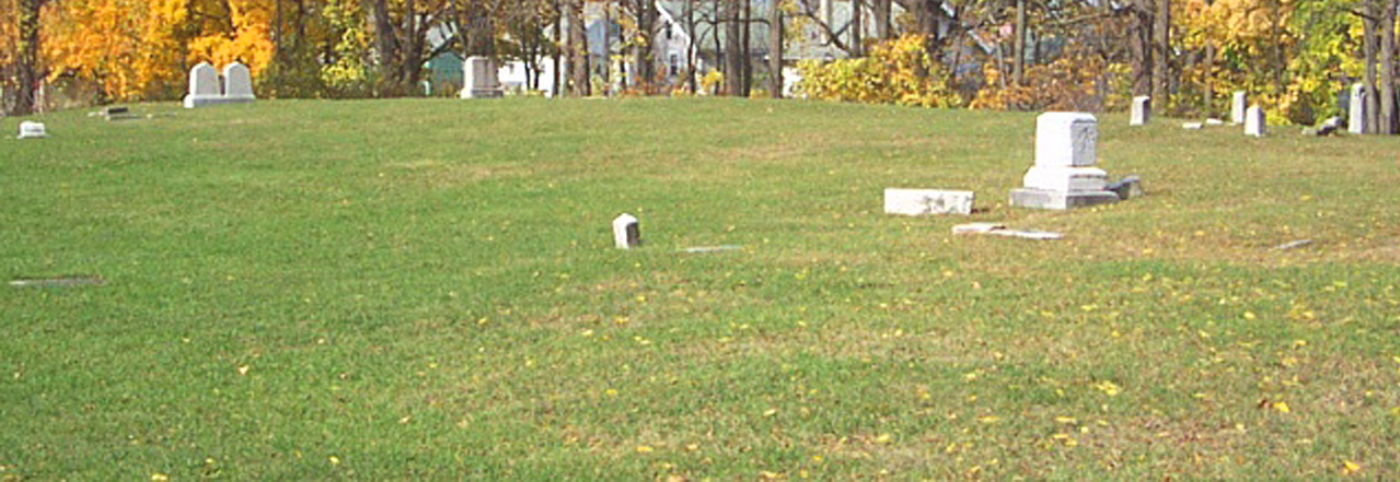
Rapids Cemetery (marked on the map) served a pioneer Rochester settlement along the Genesee River not far from today’s Erie Canal. Its unique location draws touring visitors from the bicycle and hiking trail junction in Genesee Valley Park to the east and west Riverway Trail that draws visitors towards the Rochester city center. Diverting from the Riverway Trail enables the visitor to access several interpretive neighborhood walking and cycling trails. Including these options enhances the heritage tourism opportunities unique to Rochester.
Empire State Trail
In late December, Governor Cuomo announced completion of the Empire State Trail, now the nation’s longest multi-use state trail! The trail spans 750-miles total, 75% of which is off-road trails ideal for cyclists, hikers, runners, cross-country skiers, and snow-shoers. The new recreational trail, which runs from New York City through the Hudson and Champlain Valleys to Canada, and from Albany to Buffalo along the Erie Canal, will provide a safe and scenic pathway for New Yorkers and tourists to experience New York State’s varied landscapes.
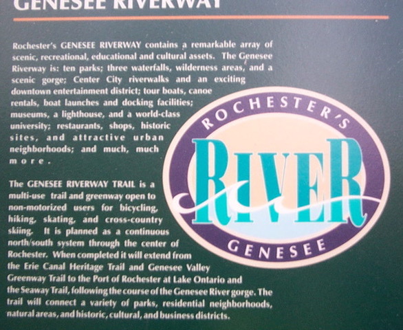
Genesee Riverway Trail
This 24-mile long, multi-use trail runs through Rochester. It extends through the scenic, historic and cultural heart of Rochester from the Erie Canal to downtown and onward to Lake Ontario. It provides pedestrian access to the Genesee River, its scenic gorge, three waterfalls, eight pedestrian bridges, and eleven parks, including four historic parks designed by Frederick Law Olmsted. GRT links nine historic districts and individual landmarks including the 1842 Erie Canal Aqueduct and the 1822 Lake Ontario Lighthouse. The trail serves the University of Rochester and a host of other city attractions, services, and neighborhoods.
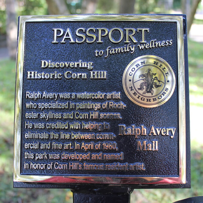
Corn Hill Wellness Trail
This tour starts at Corn Hill Landing about a mile and a half north from Rapids Cemetery along the river. It features metal signs with embossed surfaces for rubbings on paper surfaces.
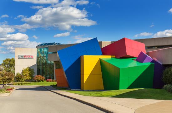
Play Walk Trail
This route takes the tourist from the Aqueduct to the Strong Museum of Play. This trail leads away from the west Riverway Trail historical and commercial locations and heads to the urban core’s eastern assets along the Genesee River. Taking this route enables the visitor to complete a circuit back to Genesee Valley Park and regain access to the bicycle trailhead hub.
Genesee Valley Greenway
This is a major north-south bicycle route. It follows the west side of the Genesee River starting from Rochester’s West Main Street and continues about 100 miles southward to northern Pennsylvania (the origin of the Genesee River).
Highland Crossing Trail
The Highland Crossing Trail is a collaborative project that created a multi-use neighborhood connector trail traveling through the Town of Brighton and the City of Rochester. It connects with two regional trail systems, the Erie Canalway Trail (new Empire State Trail) in the south and the Genesee Riverway Trail in the northwest, while visiting numerous parks and places of interest along the way. The trail’s route design creates a safer, accessible route for commuters and recreation seekers whether they are walking, running, or bicycling. The trail also provides statewide trail users access to several important parks and open space resources.
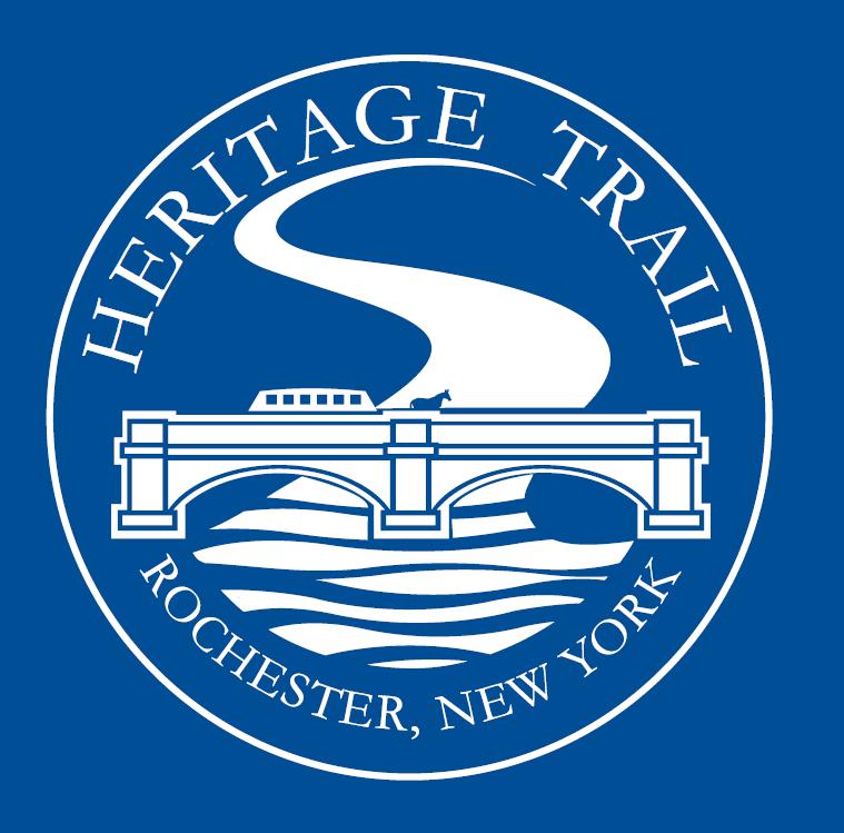
City of Rochester Heritage Trail
This trail leads from the Rochester Aqueduct along Broad Street to the Susan B. Anthony Preservation District. Come and explore history in downtown Rochester on The Heritage Trail, a 1.25-mile long walking path that leads visitors to 15 points of historical significance. This self-guided tour follows an 8” wide line of either granite or blue paint on city sidewalks. Along the way, visitors will find historical markers, plaques, and interpretive signs telling some of the stories that make up Rochester’s rich history. Look for the logo on trail stops downtown!
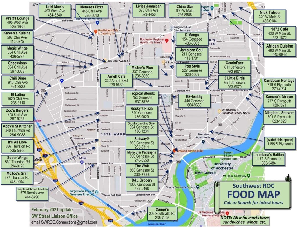
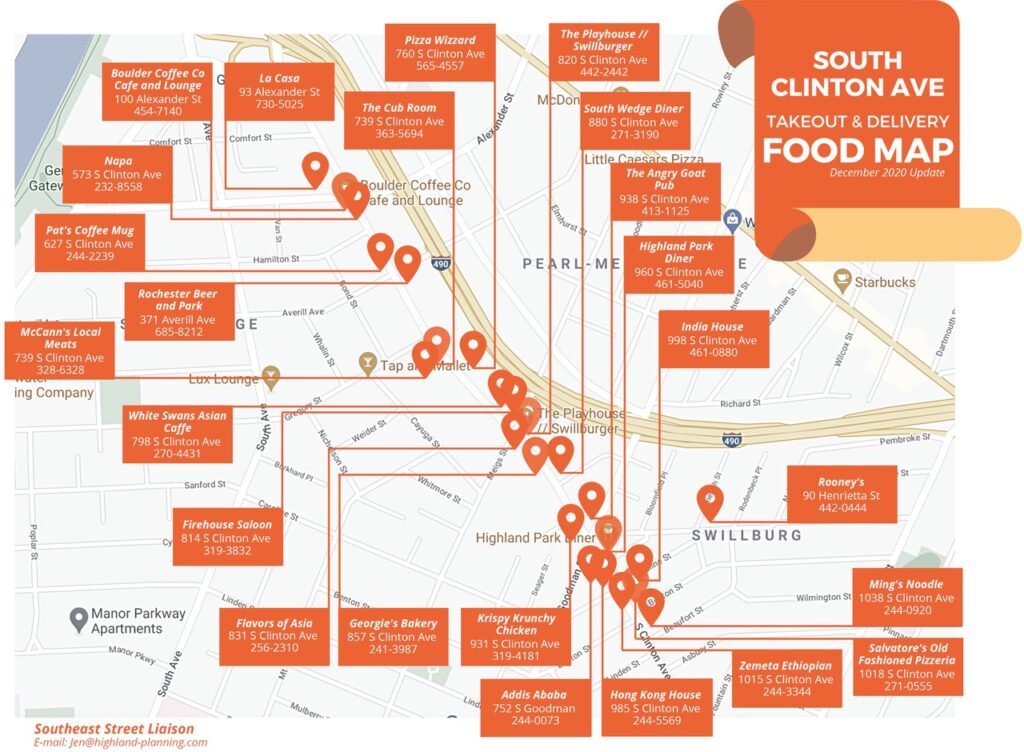
Local Food Maps